JOIN THE CLUB. FIND MORE FISH.
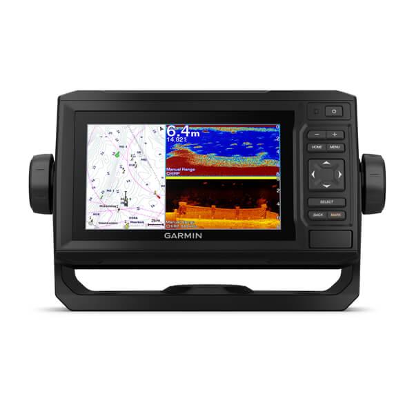
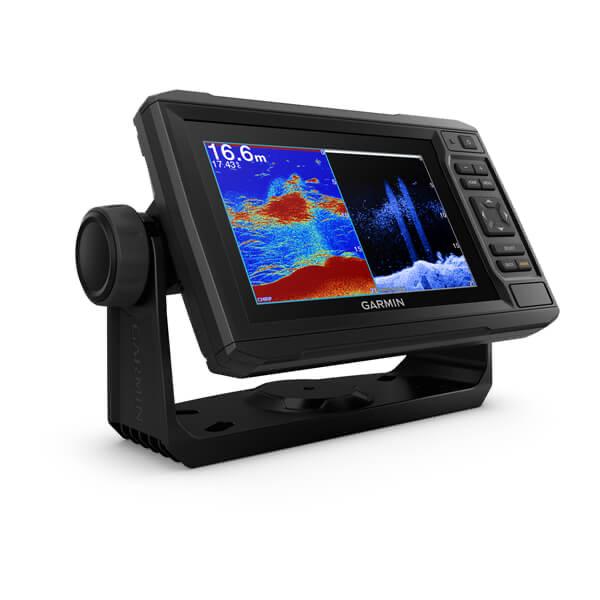
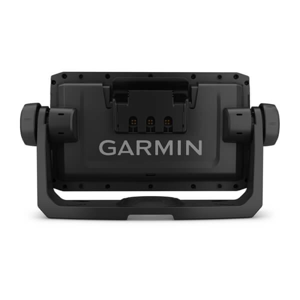
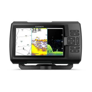
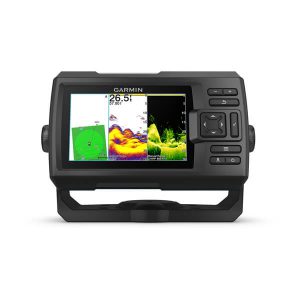
The sunlight-readable 6” touchscreen chartplotter features a quick-release bail mount, and the transducer bundle adds Ultra High-Definition scanning sonar and CHIRP traditional sonar.
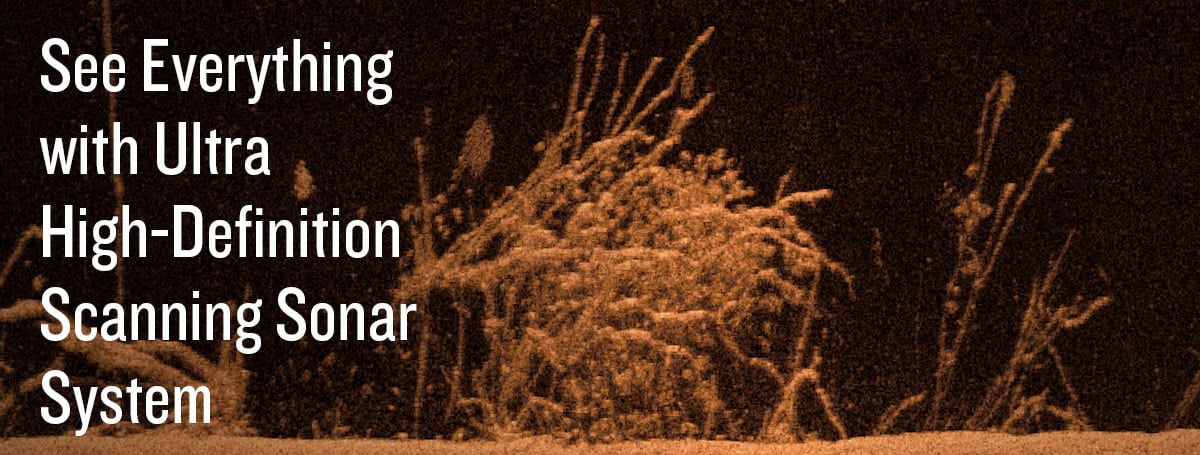
See below your boat in incredible detail with optional transducer |
Navigate any waters with optional charts and maps |
Manage your marine experience from nearly anywhere |
Create your own maps on the fly and tailor them to fit your needs |
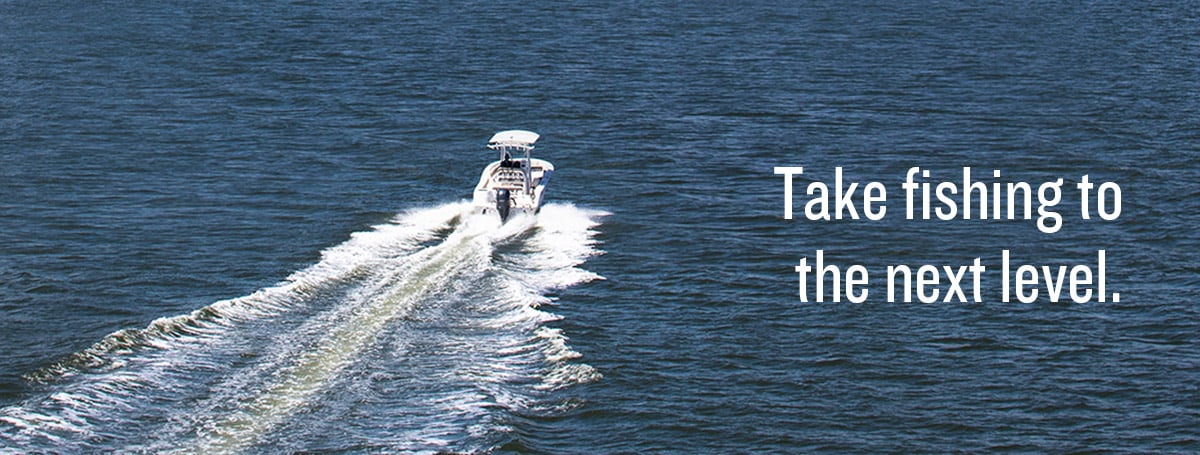
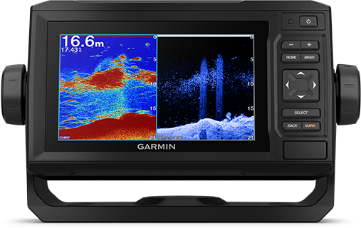
OPTIONAL TRANSDUCER BUNDLE
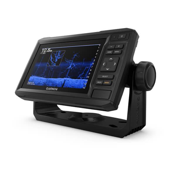
Select the transducer bundle to add a GT24 transducer for Ultra High-Definition ClearVü scanning sonar, which shows you a crystal-clear image below your boat. Plus, you get Garmin high wide CHIRP traditional sonar for remarkable target separation.
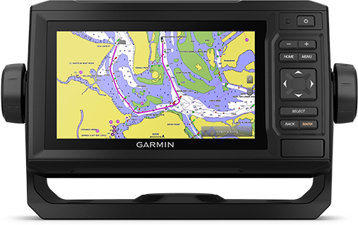
OPTIONAL CHARTS AND MAPS
Experience unparalleled coverage and detail with support for optional BlueChart g3 Vision coastal charts featuring integrated Garmin and Navionics content.
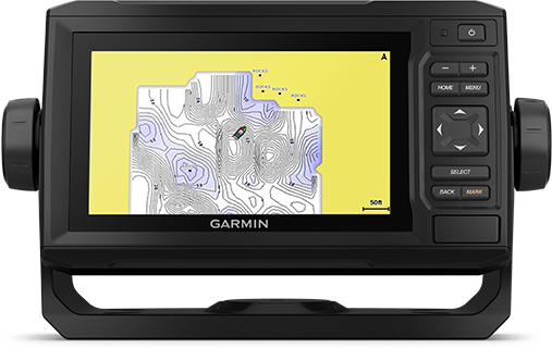
QUICKDRAW CONTOURS
Create personalized fishing maps on-screen with 1’ contours. Keep the data to yourself, or share it with the Quickdraw Community on Garmin Connect.
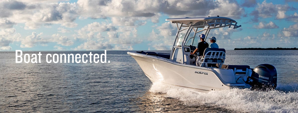
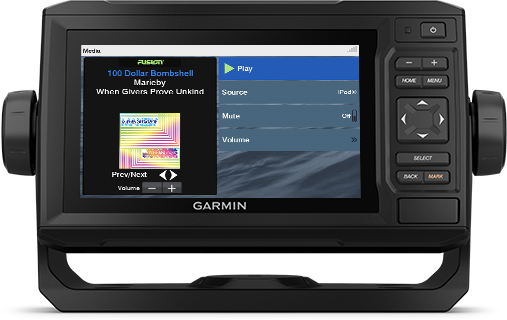
NMEA 2000 AND NMEA 0183 NETWORKS
Connect to autopilots, digital switching, weather, FUSION-Link audio system, media, VHF, AIS and more from one screen.
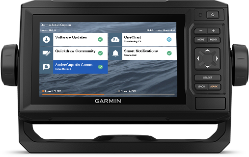
ACTIVECAPTAIN APP
Built-in Wi-Fi connectivity pairs with the free all-in-one mobile app for access to the OneChart feature, smart notifications ¹, software updates, Garmin Quickdraw Community data and more.
Description : Garmin G3 BLUECHART (HXAE009R)
Our Advanced Chart Offering
- Derived from official charts and private sources to provide navigational aids, spot soundings, depth contours, tides and currents, and detailed harbors and marinas
- Depth Range Shading for up to 10 depth ranges enables you to view your target depth at a glance
- Up to 1-foot contours provide a more accurate depiction of the bottom structure for improved fishing charts and navigation in swamps, canals and marinas
- Shallow Water Shading feature allows for depth shading at a user-defined level to aid in navigation
- Worldwide coverage available
- Keep your charts up to date with our industry-leading New Chart Guarantee and discount card update program
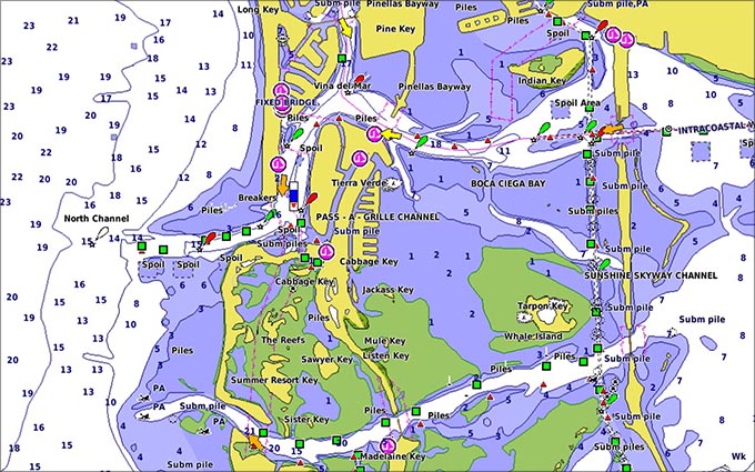
Advanced Chart Detail
Detailed charts help the mariner guide their boat in and out of port with confidence.
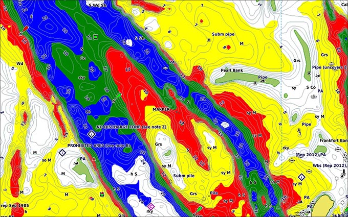
Depth Range Shading
Displays high-resolution Depth Range Shading for up to 10 depth ranges so you can view your designated target depth.
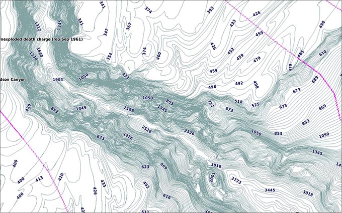
Detailed Contours
BlueChart g2 HD features 1-foot contours that provide a more accurate depiction of bottom structure for improved fishing charts and enhanced detail in swamps, canals and port plans.
Coverage :

Coverage of the entire Malay Peninsula; Thailand; Cambodia; southern Vietnam including Ho Chi Minh City and the Mekong Delta; Brunei and Indonesia west of Timor. Islands covered include Java, Sumatra, Sulawesi and Borneo, Indonesia; Christmas Islands, Keeling Islands, Cocos Islands and the Andaman and Nicobar Islands.

